


Cookies Information
We use cookies to enhance your browsing experience, serve personalized content, and analyze our traffic. By clicking "Accept All", you consent to our use of cookies. Cookie Policy

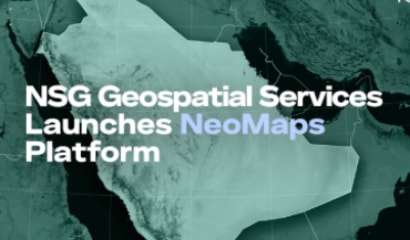
Investment in geospatial technologies continues to grow at a rapid pace. According to NovaSpace, an estimated 5,401 earth observation satellites will be launched between 2024 and 2033. This is a 190% increase from the 1,864 satellites launched in the previous decade. This growth is being fueled by technological innovation and increased demand. As climate change, migration, urbanization and conflicts increase, the need for timely and precise geospatial information continues to grow.
There are essentially two parts
to geospatial services: the upstream
segment, comprised of the satellites,
drones and aircraft which capture and
transmit images and data; and the
downstream segment comprised of
companies that provide the resources
to analyze and interpret all that data,
converting it into timely, actionable,
information and insights.
_113844.png?w=740&h=520&mode=crop&scale=both)
This downstream part is as important, if not more important, than the collection of data. Overlaying various data layers, enables insights into the relationship between multiple environmental factors. An example would be overlaying data on soil type, vegetation cover, rainfall pattern and population density to understand how human activity impacts ecosystems. Spatial analysis is used to identify patterns, predict changes and assess the impact of any deliberate interventions – changing land use for example. Being able to combine and present all this information in clear visual maps or 3D models, greatly enhances our understanding of the environment, situations and factors impacting change.
To read the full report, click here.
Cookies Privacy Settings Description


This account is already registered.